Items related to I Know About! The Young People's Atlas of the World...
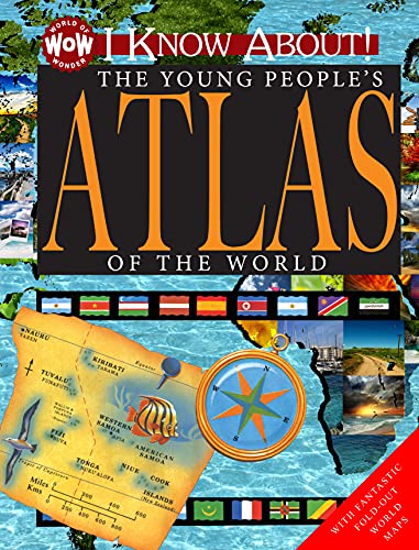

Discover the countries of our amazing planet in this atlas, geared perfectly towards children! This visual guide to countries of the world gives a great basic introduction to countries, maps, monuments, people, and cultures across the world, all brought to life with fantastic photography, country data, and fascinating facts! Parents and educators will love how engaged students are in these books, while kids will be too involved in the amazing facts and photographs to realize they are learning! With a cover designed to grab a childs attention, and an immediately engaging interior filled with varying text lengths and density, diverse illustrations, dynamic layouts, and the most current information laid out in a captivating format, young readers will come back to this book again and again, building their knowledge of geography with this engaging and entertaining book.
"synopsis" may belong to another edition of this title.
About the Author:
The Flowerpot Children's Press, Inc. editorial team has written these books in conjunction with the designers and illustrators of this project. Blending life experiences and diverse backgrounds, these individuals come from Southern, Midwestern, and Canadian roots. The team sought for this project the heartfelt experiences of learning on fascinating subjects. To do this they do extensive research and tapped their family and friends for input and reaction, resulting in the beautiful spirit and design of this series that encourages lifelong learning.
From School Library Journal:
Gr 2–4—This slim, unintimidating volume is a serviceable, if flawed, first atlas for students just learning about maps. The book begins with six sections discussing geographical features, such as forests, deserts, and mountains, and then moves into nine spreads of maps focusing on different parts of the world. Each full-color map points out physical features, flags, national capitals, major cities, and illustrations that "highlight a few cultural, economic, and political points of interest." These illustrations, unfortunately, are offered without captions or context and present little in the way of useful information. Lack of context is a problem overall: the first page of the book starts with "Rivers, Lakes, and Swamps" without explaining what an atlas is. Some of the graphic references are also confusing; for example, under "Mountains," text refers to an image of Mount St. Helens without indicating which of the several pictures portrays the landmark. A foldout showing large maps of the world is a useful addition, but its placement, smack in the middle of the "North America" spread, is confusing and makes it difficult to see the map. National Geographic Kids Beginner's World Atlas (National Geographic, 2011) is a much more appealing and user-friendly option for this age group.—Kathleen Kelly MacMillan, Carroll County Public Library, MD
"About this title" may belong to another edition of this title.
- PublisherFlowerpot Pr
- Publication date2014
- ISBN 10 1770939318
- ISBN 13 9781770939318
- BindingHardcover
- Number of pages30
- EditorPipe Jim
- IllustratorSweet Stephen
Top Search Results from the AbeBooks Marketplace

Stock Image
I Know about! the Young People's Atlas of the World
Published by
Flowerpot Children's Press Inc.
(2014)
ISBN 10: 1770939318
ISBN 13: 9781770939318
Used
Hardcover
Quantity: 1
Seller:
Rating
Book Description Condition: Good. Sweet, Stephen (illustrator). Used book that is in clean, average condition without any missing pages. Seller Inventory # 15945826-6
Buy Used
US$ 4.00
Convert currency
Stock Image
I Know About! the Young People's Atlas of the World: I Know about
Published by
Flowerpot Press
(2014)
ISBN 10: 1770939318
ISBN 13: 9781770939318
Used
Hardcover
Quantity: 1
Seller:
Rating
Book Description Hardcover. Condition: Good. No Jacket. Sweet, Stephen (illustrator). Pages can have notes/highlighting. Spine may show signs of wear. ~ ThriftBooks: Read More, Spend Less 0.8. Seller Inventory # G1770939318I3N00
Buy Used
US$ 5.99
Convert currency